Gofirstclass
Well-Known Member
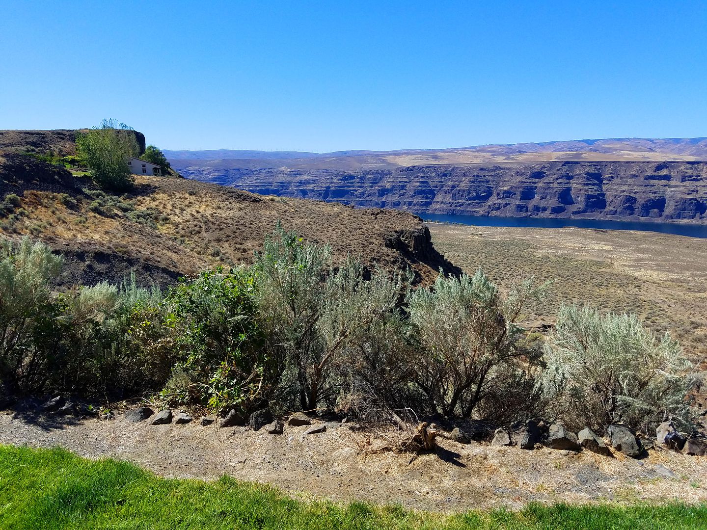
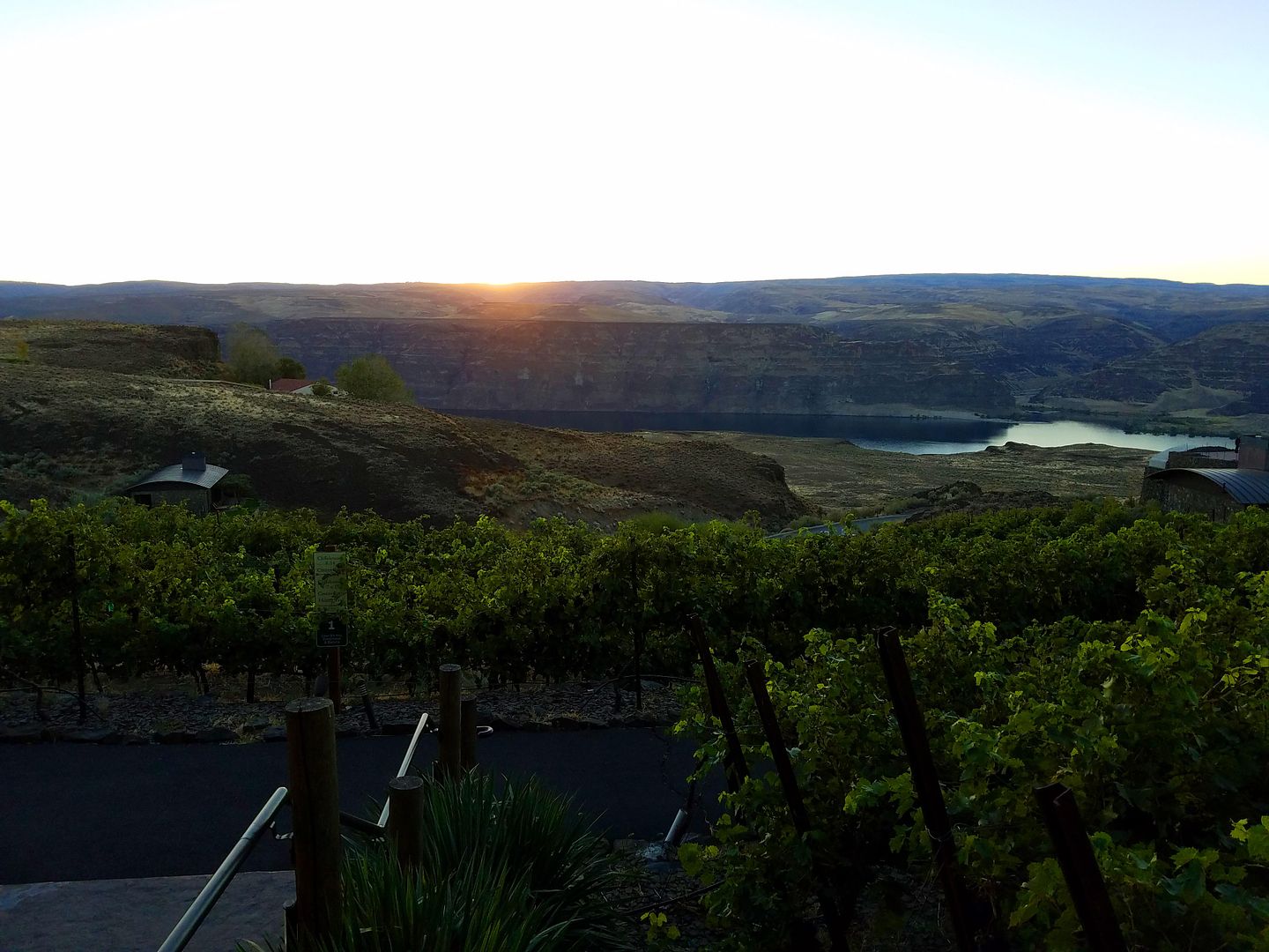
Tina and I had heard of a resort neither of us had been to so we decided to check out “Cave B”. It’s a very unusual resort located on the cliffs above the Columbia River about 1.5 hours from where we live, in a small area near the vacation resort Crescent Bar.
The weather could not have been better. Temps were in the low 80’s, almost zero wind and not a cloud in the sky.
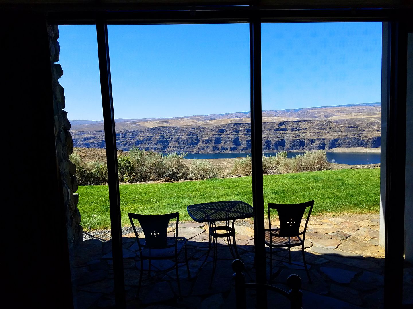
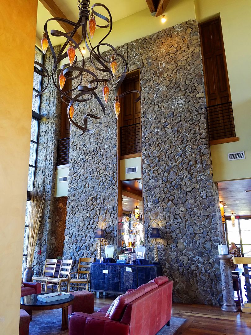
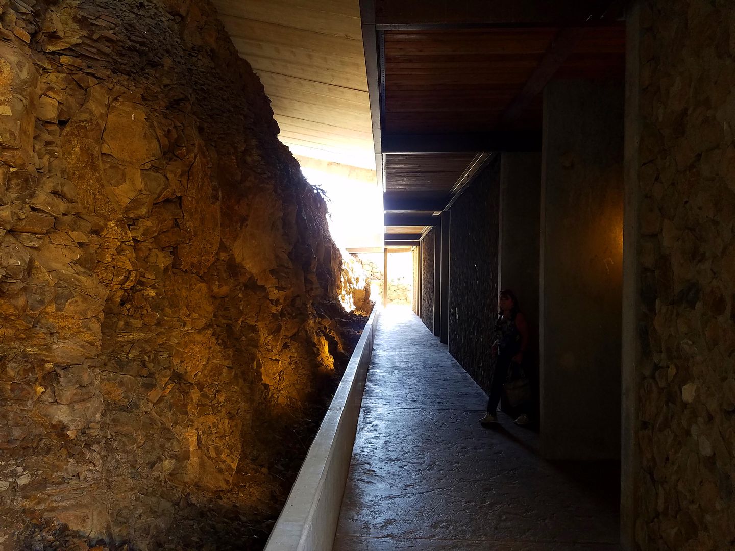
When we got to Cave B we were a bit surprised by the accommodations. They had Yurts, some rooms built right on the cliffs, and our room was actually built INTO one of the cliffs. You can see the accommodations on their website at:
http://www.cavebinn.com/
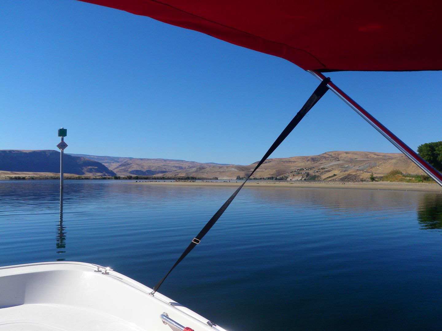
Given the river location we had decided to take the Whaler up with us to explore a new section of the river. Once we got checked in we took off for Crescent Bar, another resort area where we knew they had a launch ramp. We got the boat in the water, Tina was driving, and she chose to go upstream first.
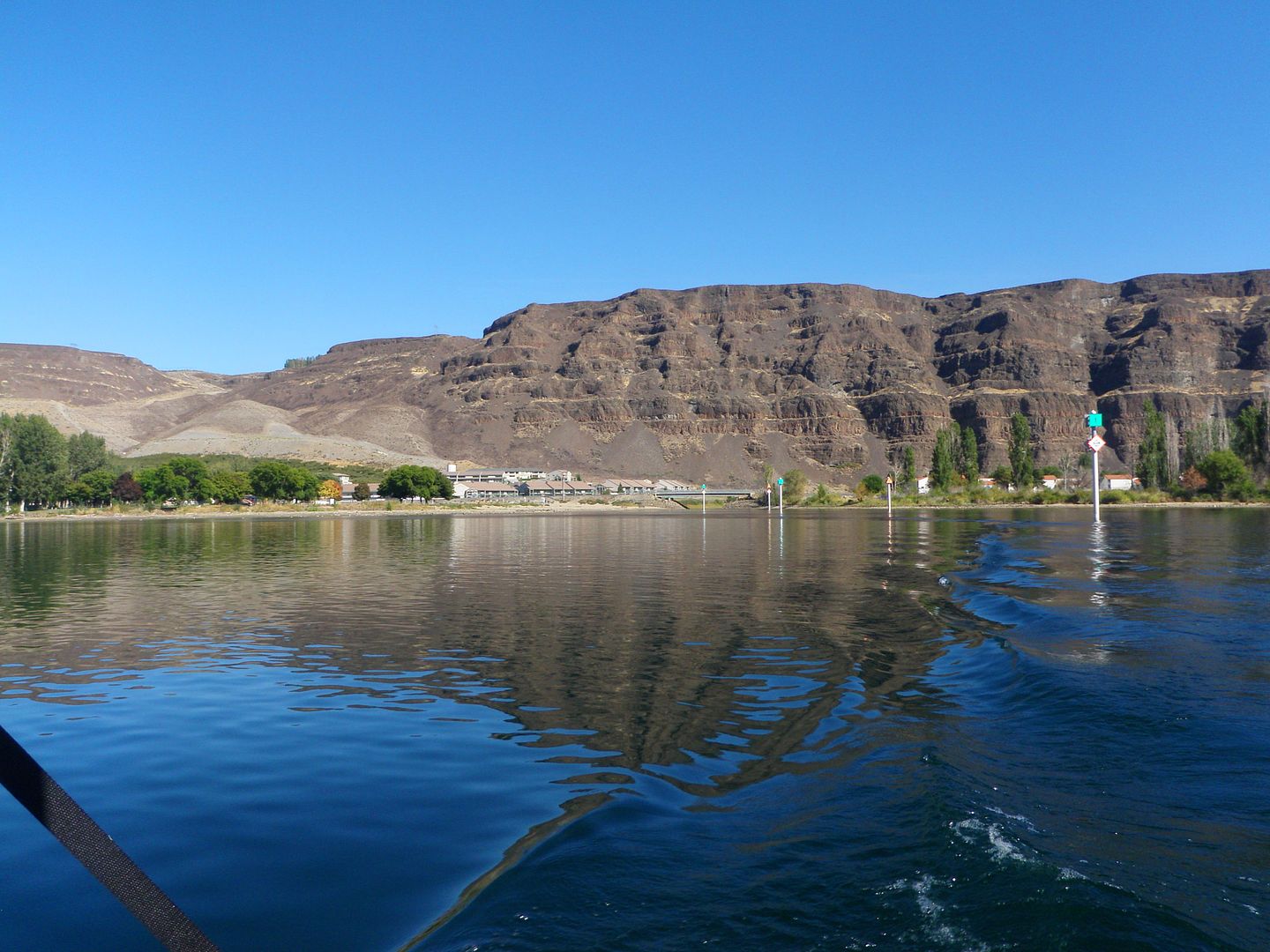
We went up about 11.5 miles toward Rocky Reach Dam, stopping a mile or so short of the dam because of the many rocks and shallow areas. We then turned around and ran about 25 miles downstream, then headed back to Crescent Bar to put the boat back on the trailer.
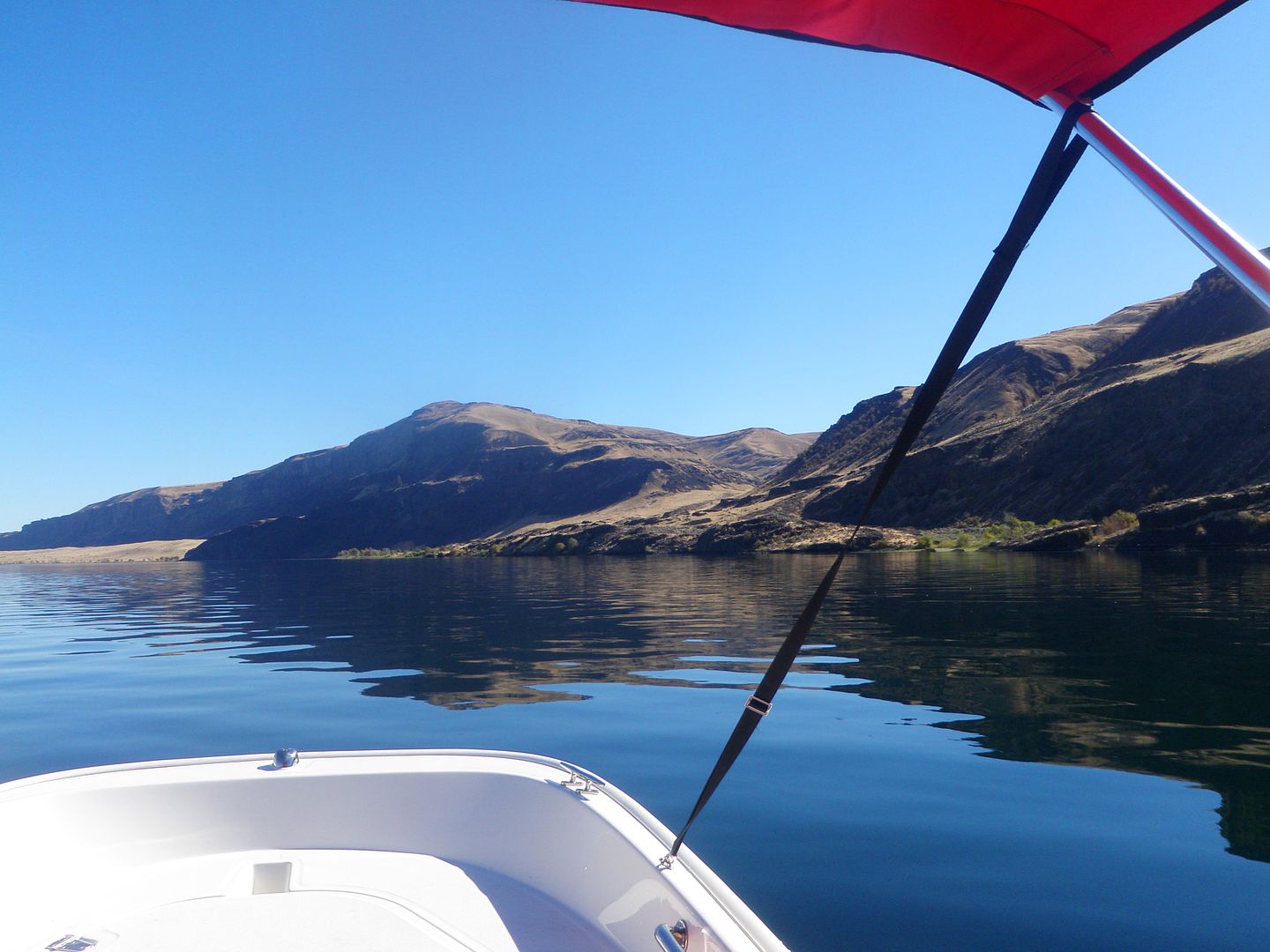
If I tried to describe the area to you you would simply not believe how rugged and beautiful it is so I’ll do it with a series of photos we took.
Here’s a shot as we’re leaving the launch ramp headed out to the river.
We headed up toward the dam and the deepest spot we found was 138’ in an area where there were many holes as deep as 110’ or more. This shot is of a vertical wall on the south side of the river. We stopped and idled up to it to see how deep it was just off the wall and it was 113’ at one point.
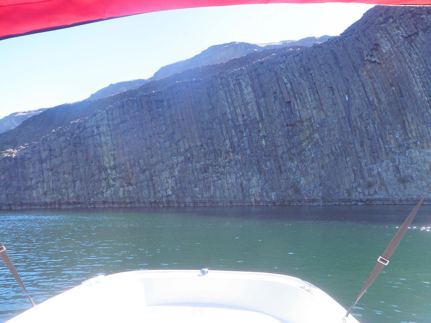
The wall is all from the violent volcanic eruptions from eons ago and the resulting lava flows that covered the area in several hundred feet of lava from the various eruptions. Here we are almost touching it and we’re still in over 100’ of water.
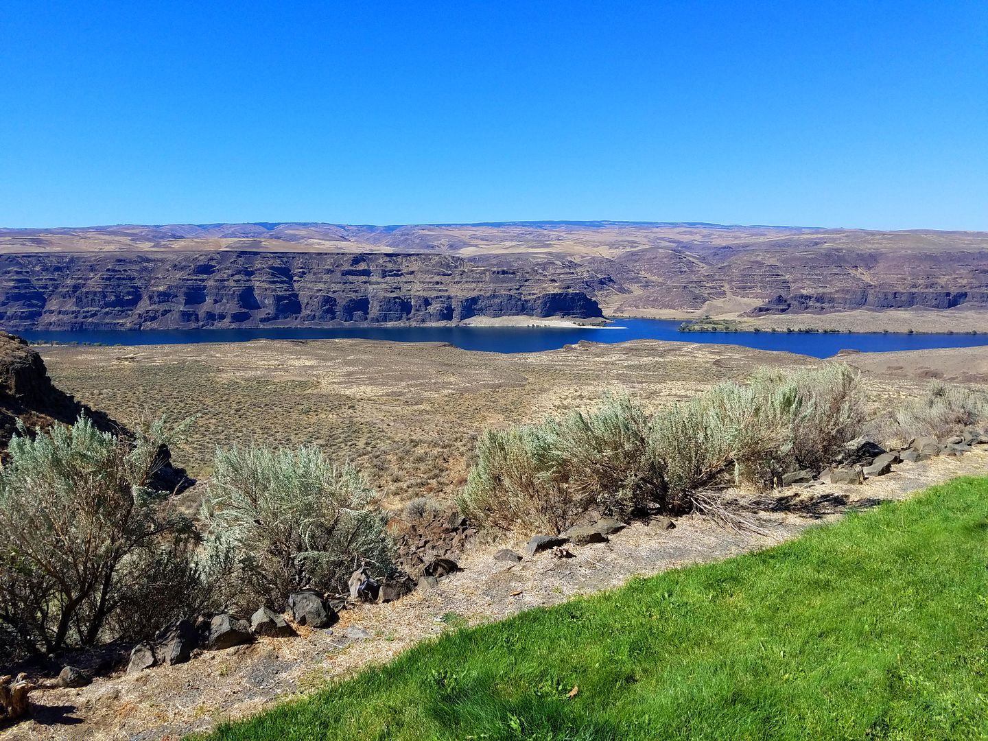
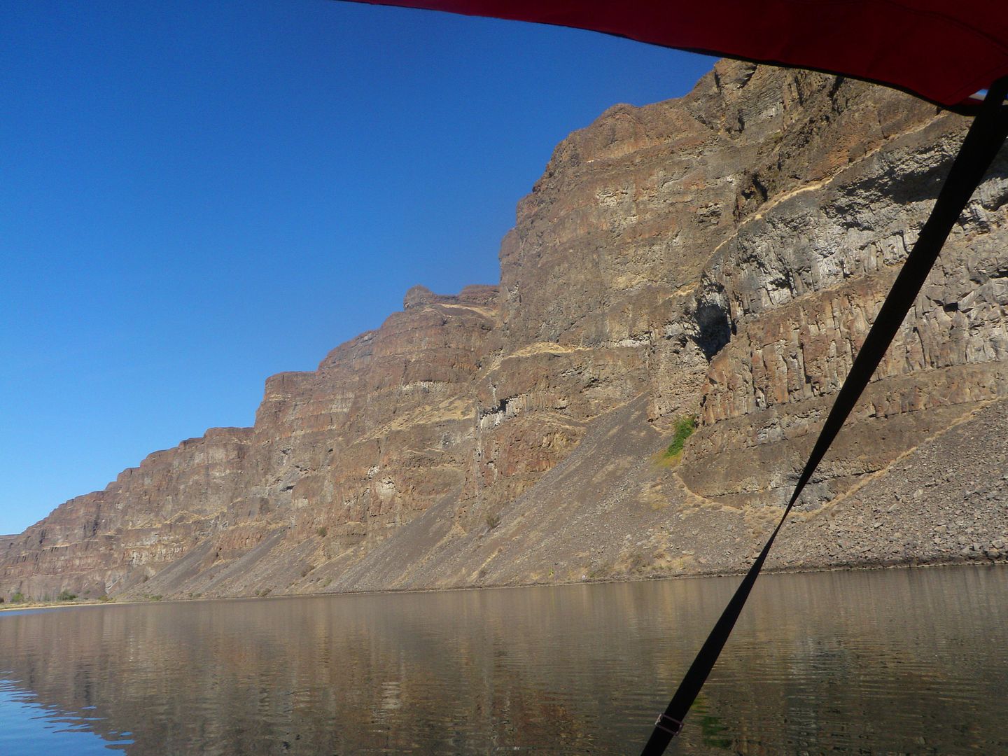
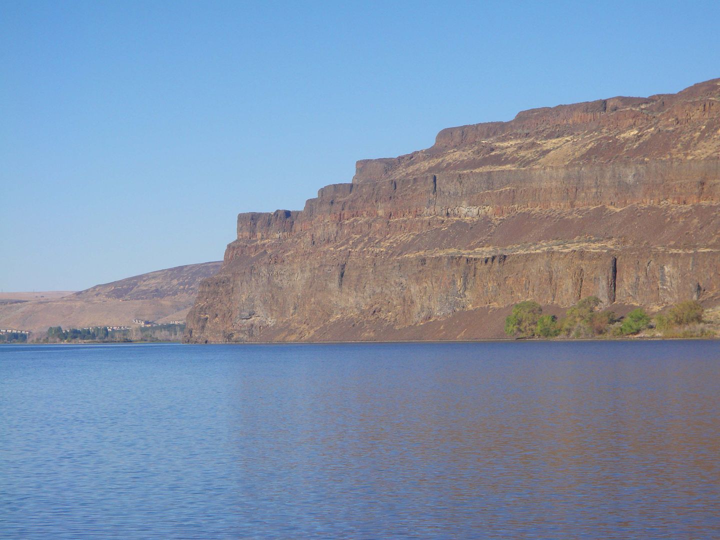
Here are the cliffs right behind Crescent Bar. According to Google Earth, they are around 800’ tall.
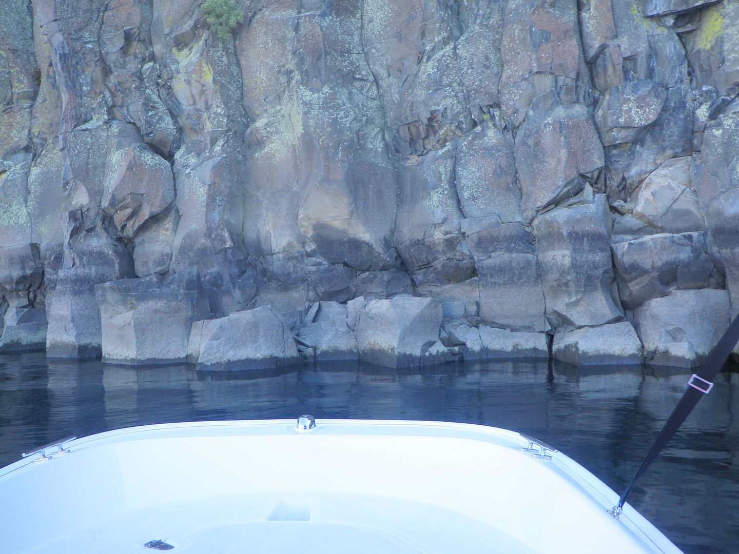
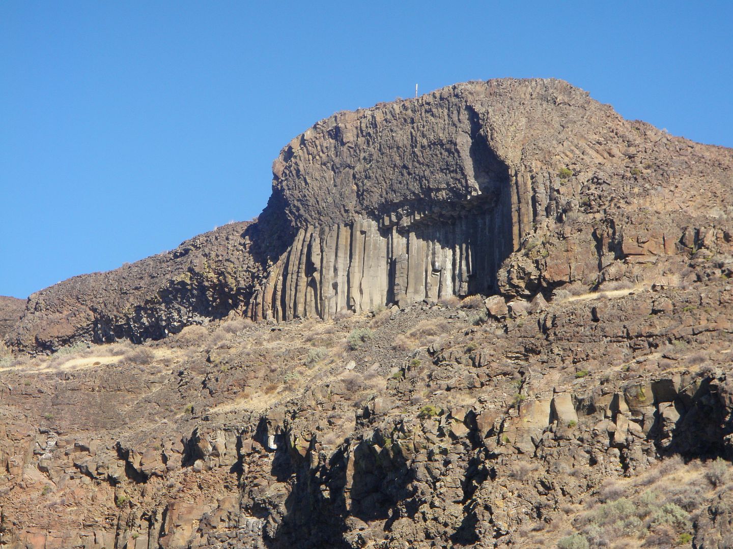
Here are a few more photos of the rock walls. In a couple of them you can see the different layers of lava from the eruptions.
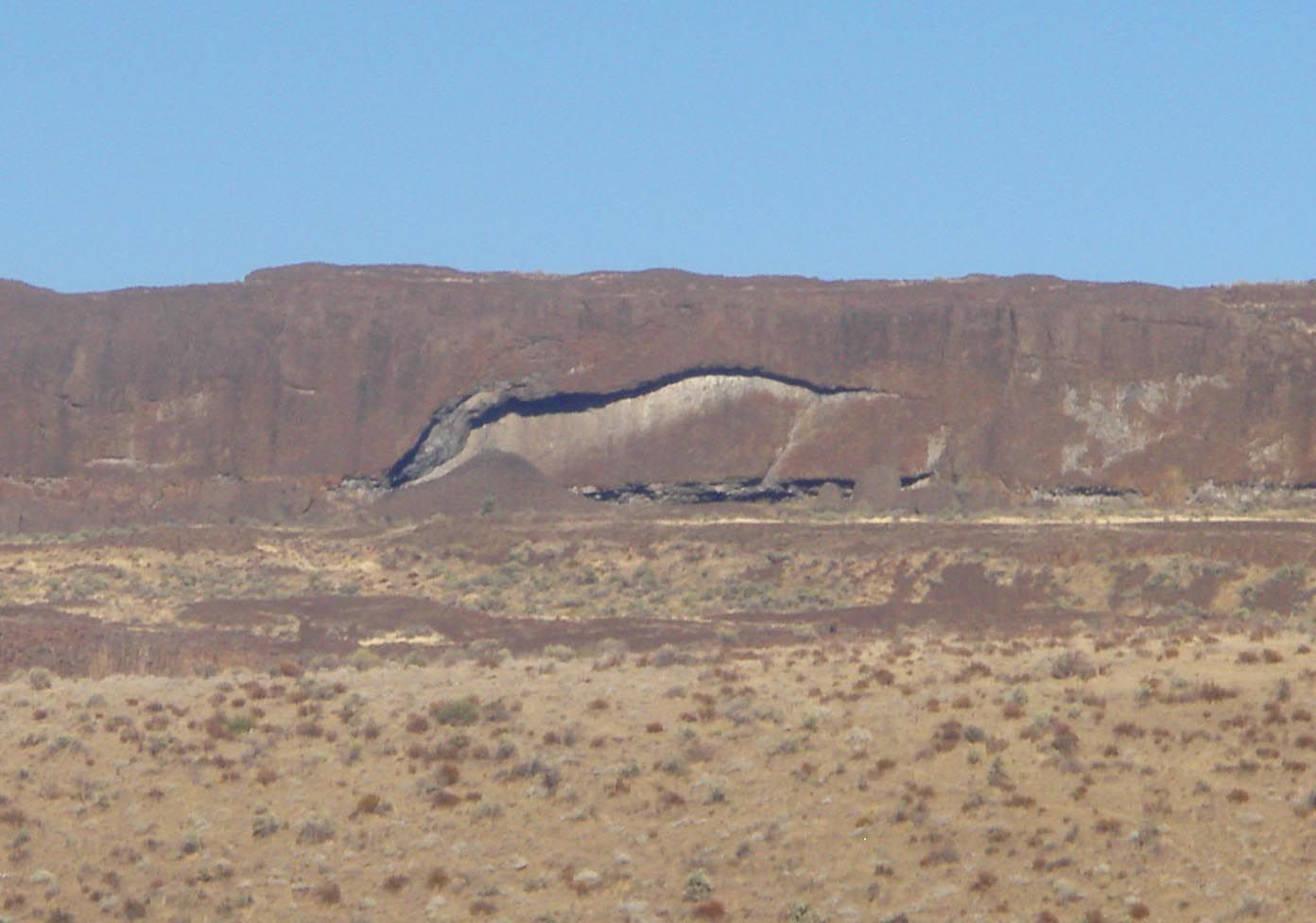
In one of the cliffs we saw this “sculpture” that looks a lot like a running horse.
The head is to the left, tail to the right, etc.
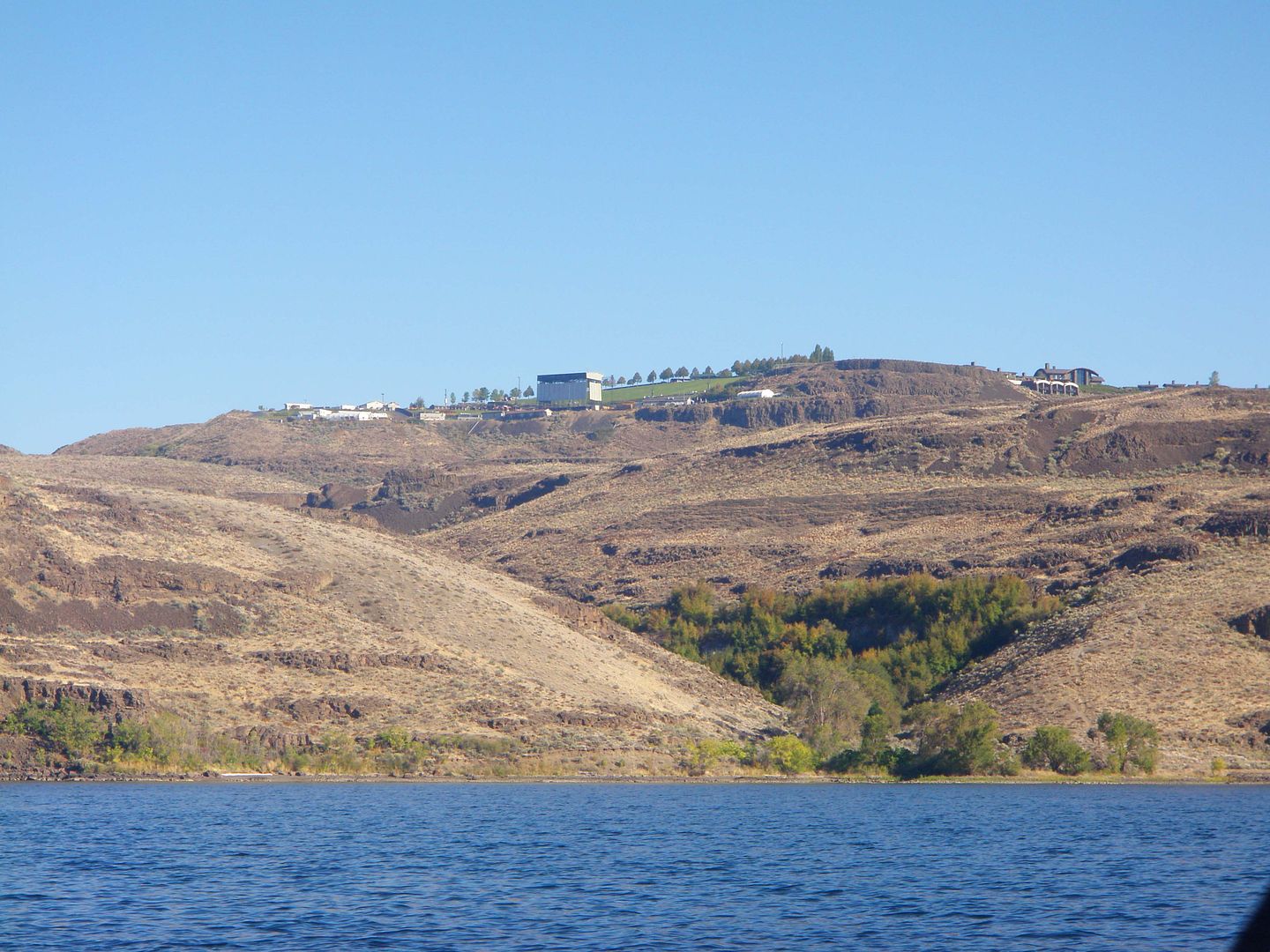
In this photo you can see the Gorge Amphitheater (www.georgeamphitheatre.com) in the left side of the photo. At the far right side that white structure is our accommodations at Cave B.
I have more photos but have to load them from my phone so give me a while to get that done.
Mike
The weather could not have been better. Temps were in the low 80’s, almost zero wind and not a cloud in the sky.
When we got to Cave B we were a bit surprised by the accommodations. They had Yurts, some rooms built right on the cliffs, and our room was actually built INTO one of the cliffs. You can see the accommodations on their website at:
http://www.cavebinn.com/
Given the river location we had decided to take the Whaler up with us to explore a new section of the river. Once we got checked in we took off for Crescent Bar, another resort area where we knew they had a launch ramp. We got the boat in the water, Tina was driving, and she chose to go upstream first.
We went up about 11.5 miles toward Rocky Reach Dam, stopping a mile or so short of the dam because of the many rocks and shallow areas. We then turned around and ran about 25 miles downstream, then headed back to Crescent Bar to put the boat back on the trailer.
If I tried to describe the area to you you would simply not believe how rugged and beautiful it is so I’ll do it with a series of photos we took.
Here’s a shot as we’re leaving the launch ramp headed out to the river.
We headed up toward the dam and the deepest spot we found was 138’ in an area where there were many holes as deep as 110’ or more. This shot is of a vertical wall on the south side of the river. We stopped and idled up to it to see how deep it was just off the wall and it was 113’ at one point.
The wall is all from the violent volcanic eruptions from eons ago and the resulting lava flows that covered the area in several hundred feet of lava from the various eruptions. Here we are almost touching it and we’re still in over 100’ of water.
Here are the cliffs right behind Crescent Bar. According to Google Earth, they are around 800’ tall.
Here are a few more photos of the rock walls. In a couple of them you can see the different layers of lava from the eruptions.
In one of the cliffs we saw this “sculpture” that looks a lot like a running horse.
The head is to the left, tail to the right, etc.
In this photo you can see the Gorge Amphitheater (www.georgeamphitheatre.com) in the left side of the photo. At the far right side that white structure is our accommodations at Cave B.
I have more photos but have to load them from my phone so give me a while to get that done.
Mike