Wanted to get some information regarding navigating Lake Wylie, specifically how far North can you go on the lake without having to worry about depth. We have been pretty far south, and all the way down Little Allison, but have not ventured as far North, we have only made it up to Daniel Stowe.
Generally speaking, once you get in to the "river channel" (the last bend you go around before you head straight north) the rule of thumb is to stay just slightly West of the center and you will be OK. Be careful once you pass under the first set of RR tracks. From there out it gets a bit dicey in some spots. I will not take my boat past Allen Steam Station if the lake is below 97. Even at that I run through a few areas that register 2-3 feet.
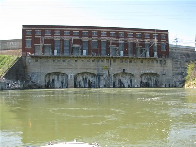
I took my 225WE up to the Mt.Holly-Huntersville Road (Hwy27) bridge and turned around. It is not advisable to go beyond that point as it gets very risky due to rocks. I believe Dave S took a previous boat all the way or close to the Mt. Island Lake dam once and may be able to share some tips.
I have had my 280 just past I85 and turned around at the north side of Tailrace marina. If you have a map and are going to be at the dock any time soon, I will be glad to point out the areas of caution I have observed.
Every time I go up there it seems like I see someone speed past me onthe East side after the first RR bridge then they slow WAY down and start following behind.
You mentioned you were taking the Lighthouse Service Boat Safety Course. They also offer a "Navigating Lake Wylie" class that I found very informative.