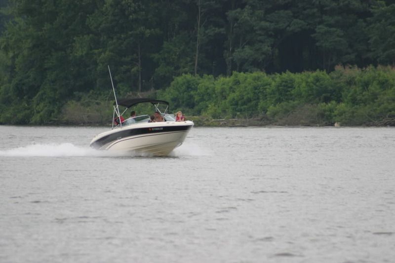
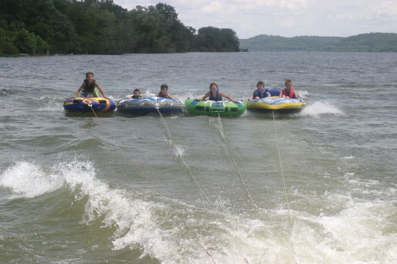
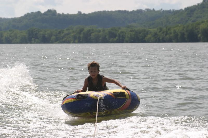
Remembering Summer

Spookeay

New Member
Oct 27, 2009
768
Lake Martin Alabama
Boat Info
HF Radio ICOM 706 Callsign W4HLK,,


The Tow Truck, 1990 F450 7.3D
Engines
Twin 305-Cid 228Hp Mercruiser w/Alpha 1s'
Any cool video montages of the past summer?
[youtube]http://www.youtube.com/watch?v=IptC_l3rQHI[/youtube]
 
OK Well how about this one?[YOUTUBE]http://www.youtube.com/watch?v=_DSwUAKktZU[/YOUTUBE]:huh:
 
Ahhh Ok you prefer country music. Why didn't you say so?

Here is video from Aquapaloza this past year here on Lake Martin.[YOUTUBE]http://www.youtube.com/watch?v=yrPPmE5bmZo[/YOUTUBE]
 
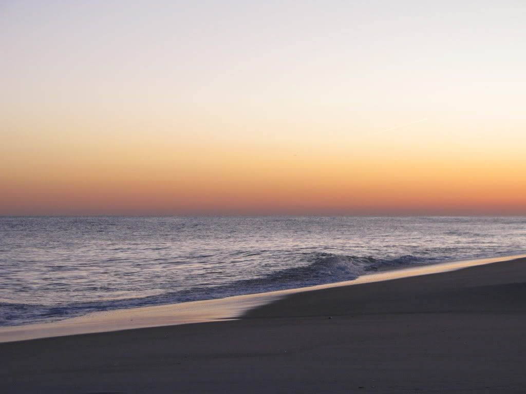
This pic reminds me of the end of summer

197-1.jpg
 
Oh just rub it in...Well at least our winter is only about 3 months long here so I guess it's not to bad. And they say mid 70 Monday..... All in all I guess I cant complain.
[YOUTUBE]http://www.youtube.com/watch?v=bLJ6iNMwX8Q[/YOUTUBE]
 
Believe me....I don't take it for granted. I grew up just up 280 in Birmingham and remember how it is there.

In January and February...Day after day of total overcast...high today 40 with light rain..low tonight 28~32 with freezing rain and snow flurries. Accumulations of 1" or less.

After 23 years of that I had enough and pointed my needle South. The summers and falls are nice though.

I have property in Tuscaloosa so I get back once and awhile to touch base.:thumbsup:

John F.
 
LOL yea like today,,,, overcast and drizzle. It's to be in the 70's but you pay the piper by overcast. If it gets sunny it gets cold...
 
I remember Summer...just like today Highs in the low 80s...lows in the upper 60s...winds East to SE 5-10 mph...Seas 1'-2'...Water temperature 79 deg.:thumbsup:

The overhead picture you posted includes the marina where my boat used to live. From Singer Island, cross the bridge heading West, take your first left, and it's the big marina on the left with docks, racks, a shop, and a huge hangar.
 
The overhead picture you posted includes the marina where my boat used to live. From Singer Island, cross the bridge heading West, take your first left, and it's the big marina on the left with docks, racks, a shop, and a huge hangar.

Sounds like Riviera Beach Marina.

John, that's a serious boat ride from here to PC....not a everyday event!!

This photo was taken facing south west. Palm Beach Inlet is just south of the break in the beach. The bridge is Blue Heron Blvd. The big island in the center just south of the bridge is Peanut Island that you may see referred to from time to time. To the east of the island is Sailfish Marina which is a popular departure point for boats heading to Freeport. To the west is the Port of Palm Beach. To the south and west is downtown West Palm Beach and to the east south of the inlet is Palm Beach.

The area around Peanut Island is a very popular spot with us locals and at high tide the visibility exceeds 75 feet on most days. At high tide this whole area is teaming with beautiful tropical fish including Angels, Parrot Fish Rays and all of the reef fish....we don' see many sharks because of the water clarity and the boat traffic. There is a big sand bar between the island and the bridge. The ICW is split by the island here and at low tide gets very tight.

Peanut Island is where President Kennedy had an underground bomb shelter and command center built during the Cuban Missile Crisis in 1962. It is a museum now and is popular with tourist. Kennedy spent a lot of time at the Kennedy home on Palm Beach and in the event of attack while he was here the bunker at Peanut Island would have become the command center for the US Government.

Just a bit of trivia for the history buffs.:thumbsup:

John F.
 
Last edited:

Forum statistics

Threads
113,154
Messages
1,427,383
Members
61,060
Latest member
Danileo
Back
Top